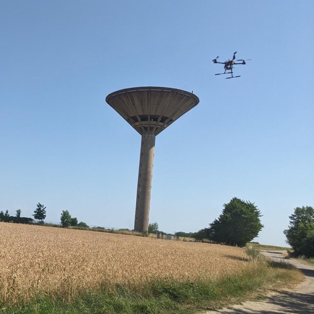
First drone flights
Rover and drone
An 11-inch drone and a four-wheel rover for mapping and data collection. Navigation and localisation are being tested in simulation and on recorded datasets.
Explore project ↗I'm Ilias Amri. Tricity Labs brings together my work on robotics, mapping and simulation. I'm building research platforms and sharing what I learn along the way.
Explore the projects ↓Hardware, software and experiments.
An 11-inch drone and a four-wheel rover for mapping and data collection. Navigation and localisation are being tested in simulation and on recorded datasets.
Explore project ↗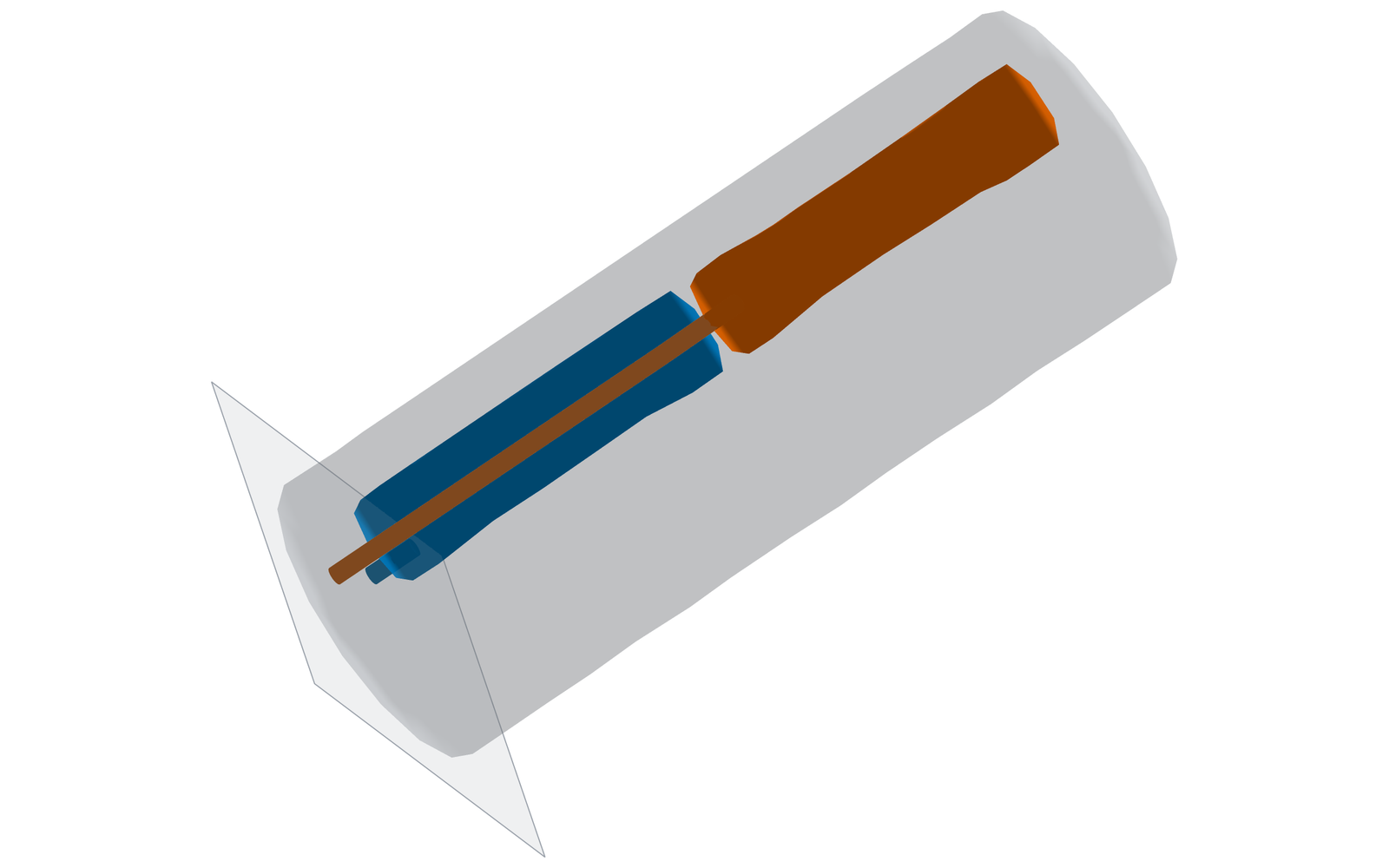
Given a starting shape and a target after inflation, SoftGen searches for chamber layouts and pressures, simulates the result, and exports the geometry.
Explore project ↗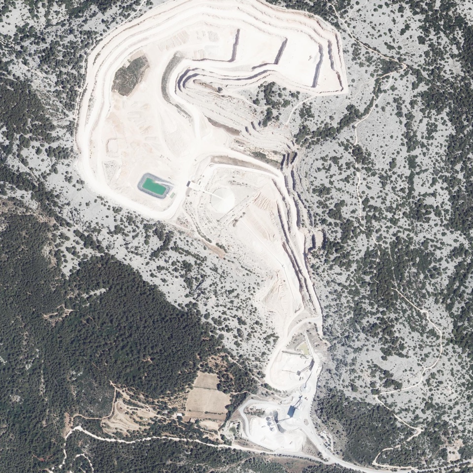
Search IGN aerial imagery with Clay embeddings, then compare candidate quarry sites with the ICPE registry and OpenStreetMap.
Explore project ↗Experiments with a cobot for picking and packing items, with a record of what goes into each package.
The aim is to connect physical handling with item identification, inventory updates and checks for missing or misplaced items.
Explore the idea ↗Know which item is being handled.
Place it in the intended package.
Confirm the contents and flag exceptions.
Keep the item, package and action linked.
Explore a compact robotic welding setup, potentially using a Fairino FR5.
Explore the welding project ↗Projects at an earlier stage.
There's still plenty to build. I want to share the code, data and experiment notes, including failed runs, so others can follow the work and try things themselves.
A little more about the project ↗